Part I: Will Metcalf
Today we travelled 30km to the southwest of Rotterdam to an island called Tiengemeten. The island is situated in the estuary systems of the Rhine and Meuse Rivers, and functions as a nature reserve which made it an excellent location to study. After fully loading a tiny ferry to the island, we began exploring by bike.
Jan Wouter, the Dutch landscape architect who has led many of our excursions, was in fact one of the lead designers on the latest development of the island. After we arrived by ferry, we biked to a central viewing plateau in the middle of one of the islands’ wetland areas. The group encountered grazing cattle from the Scottish Highlands as well as a number of swans and other wetland species.
We were encouraged to simply observe what we saw as we looked out over the wetland. One notable feature was that the high water allowed us to easily see differences in topography and water level between areas. Additionally, the island contained several old dikes that were evidence of the history of expansion and changing uses of the island. Jan Wouter took us through the history of the island before lunch:
Originally a small embankment in 1780, the island grew in size as a farming community through the 19th and into the early 20th century. Because the island sits in the estuary, tidal action and storms frequently overwhelmed the dikes over time. As a result, the dikes we could see from the plateau are all evidence of the island’s historical entanglement with the sea.
Due to increasing sophistication of the Netherlands’ water engineering, the island is now only exposed to limited tides from the Rhine estuary to the north. Consequently, Tiengemeten now serves as a rehabilitation center for mental health in addition to a nature reserve, containing rental homes, a hotel, and other amenities for recreation.
Part II: Yungui Cai
After the simple lunch, we got our missions for biking around the island and pick several spots to sketch. The aim of the sketch was to experience the island and recorded the feeling of it. This whole process lasted for an hour and a half.
The spots I chose for the sketch were along the bike lane. When we biked to the restaurant, I found my view was always directed to one side of roads. The other side is always blocked by the dike. Once I got to the high level, the view on both sides appear. Along the road, it’s easy to see different types of the landscape, from flat farmland to dynamic water space and marshland. Some creatures like cattle, goats and horses can also set as part of the landscape. The appearance of the creatures strengthen the natural feeling. I was really interested in how the dike act in the landscape and how designers played with dikes to create space. So I drew sections along the way and perspective to show the atmosphere at the spots.
After we gathered together, Vicent asked three questions to help us collect our thoughts. What experience we had during our biking ride. The second one was what played the most important role in our drawings. The last one is that compared to the national parks we’ve been to, which did we prefer. Apart from what I thought. People mentioned about skyline on the island was fuzzy. This helped contribute to the natural feeling. Some talked about the texture of the landscape. We saw the vertical grass extending from the smooth water. The marshlands and farmlands all express abundant feeling.
Images: 1-3, Will Linscott. 4-6, Mattie Wong
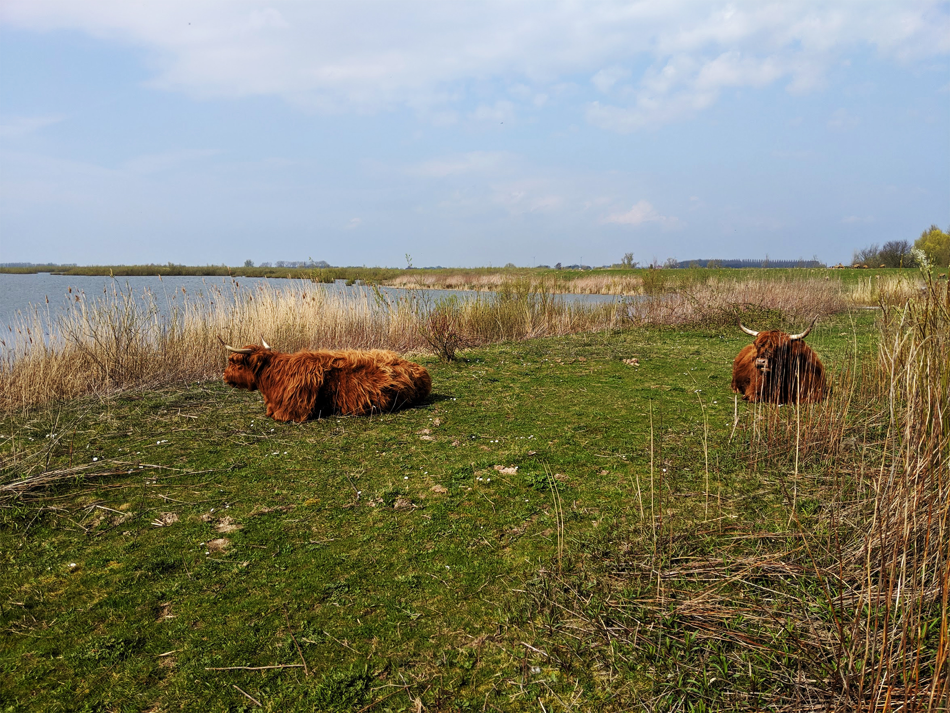
Scottish Highland Cattle graze and rest almost within arm’s reach of the cycling/pedestrian path.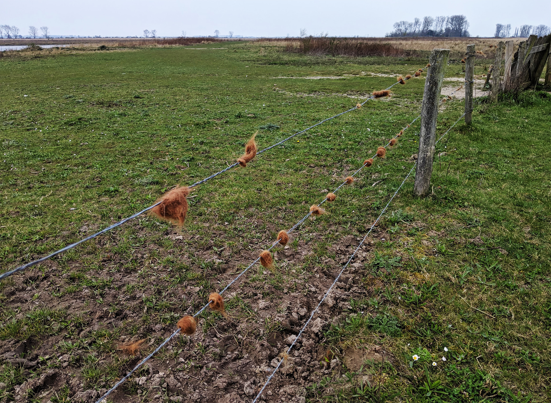
In the center of the island, tufts of Highland Cattle tangled in barbed wire fence allude to the grazers’ proximity, even when they are not present.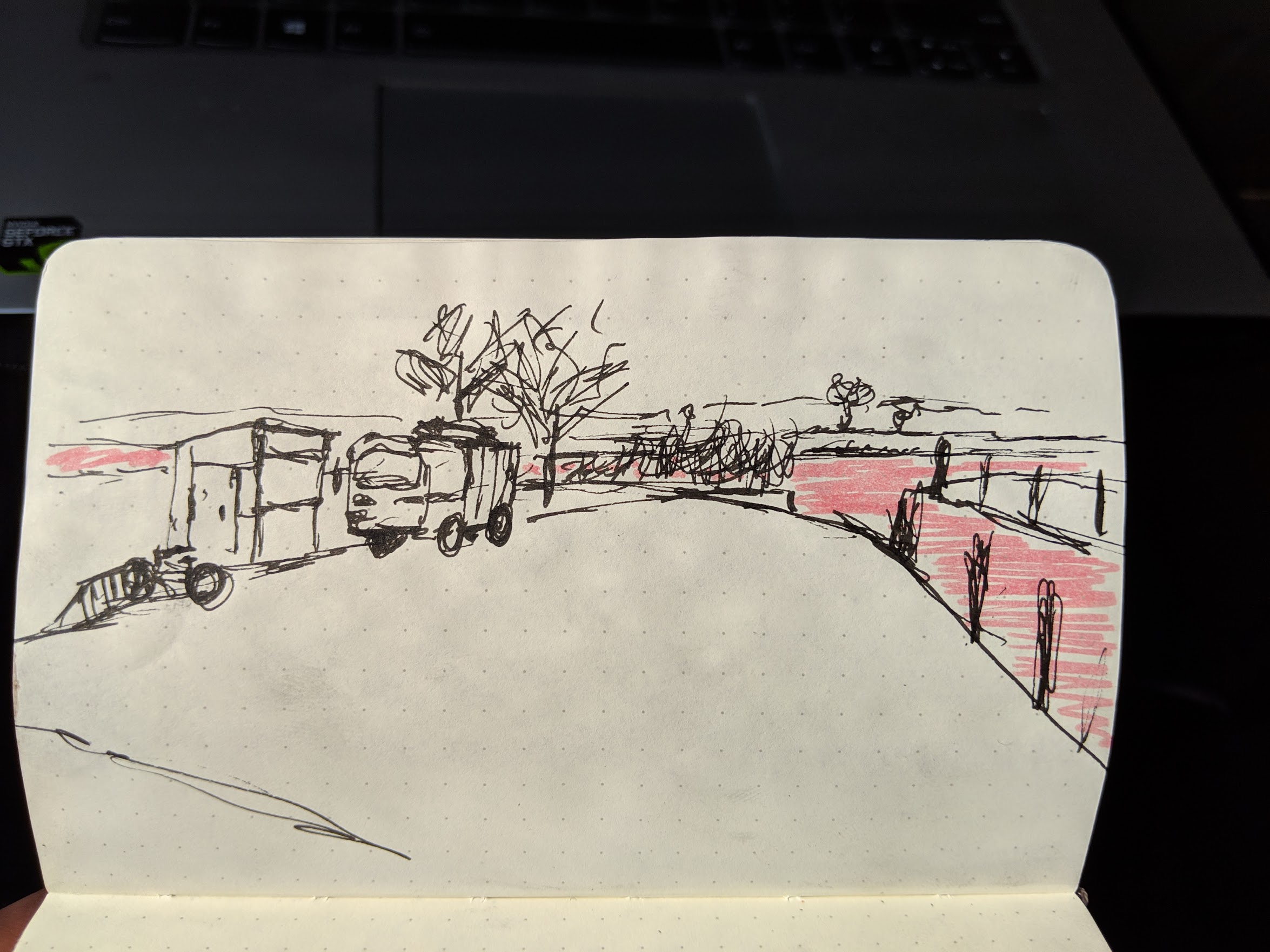
The only entrance to the island, a boat ramp and a small inlet canal that connects to the larger river system.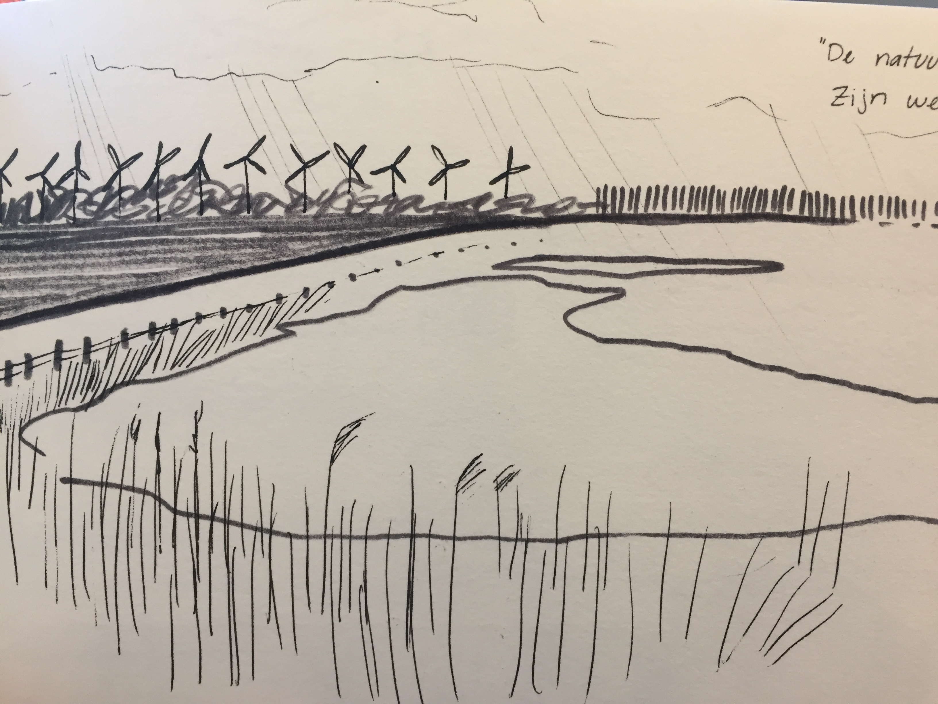
Sketch 1: Far horizons and dykes. 
Sketch 2: Wetland ringed by dykes with some horizon. 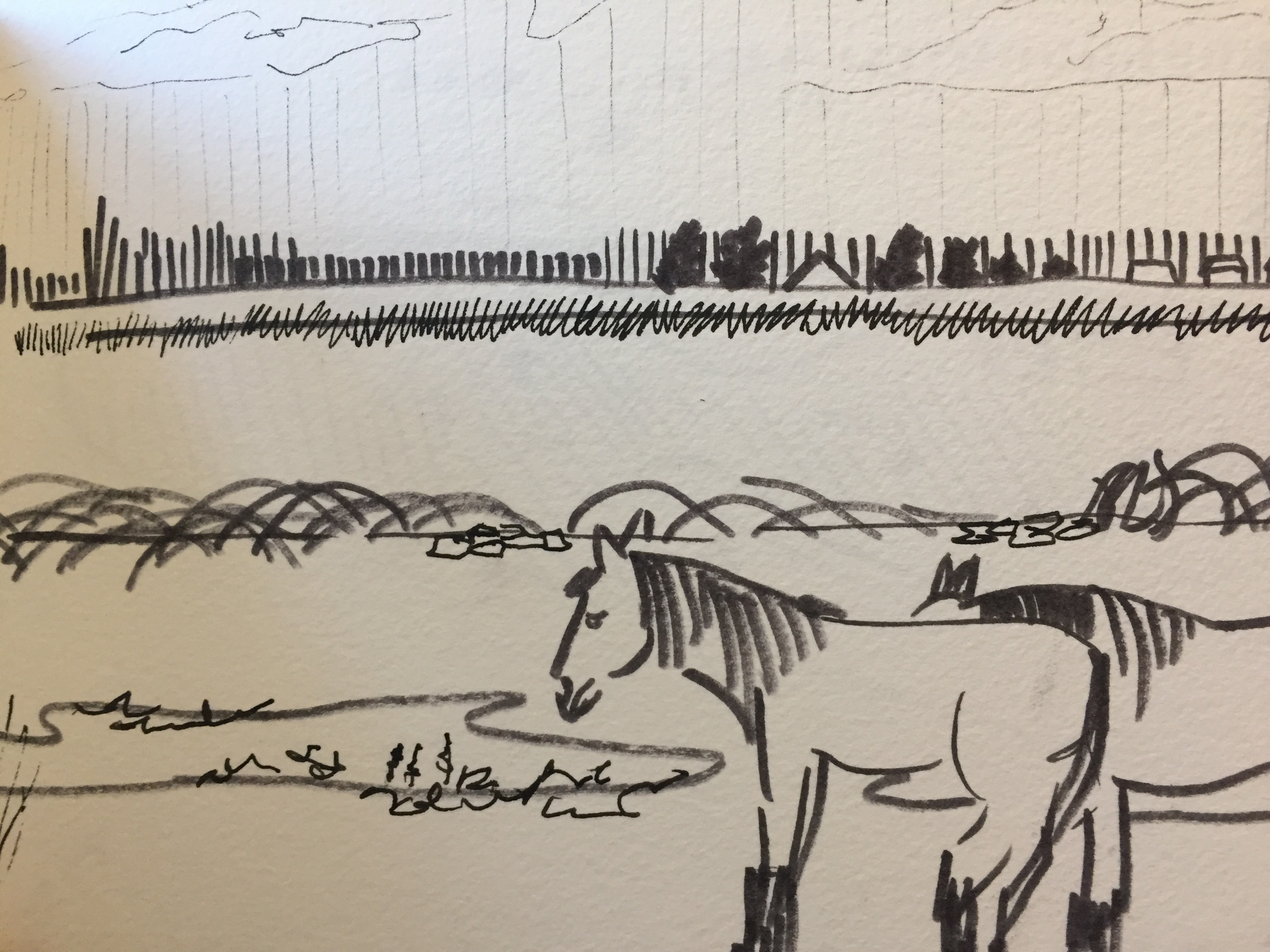
Sketch 3: Edge of island and some other inhabitants.
