Images by Nikolai Fjelstad DeSantiago and Anya Moucha
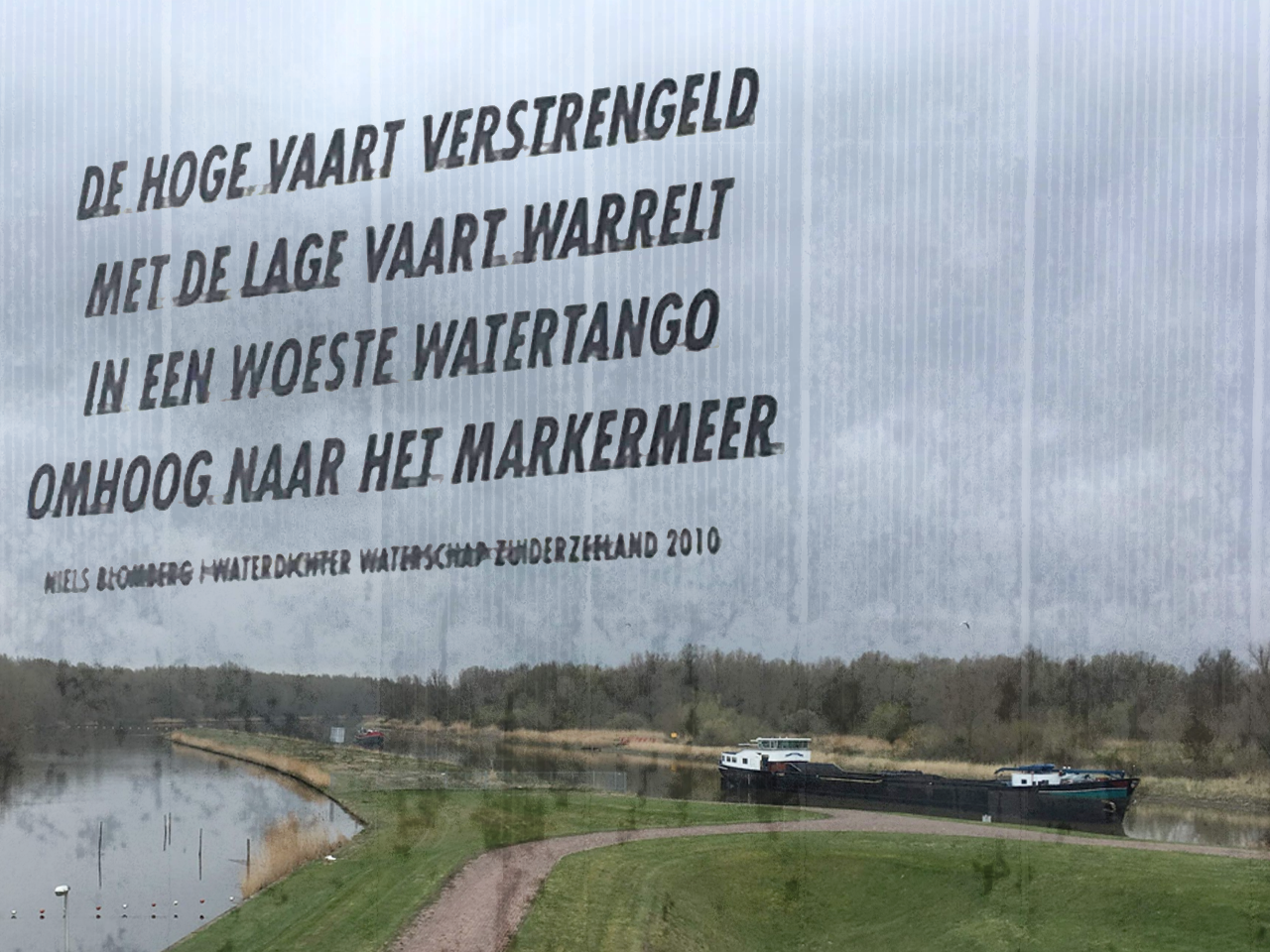
Image of the low water at Lepelaarplassen, combined with a poem from the nearby pumping station.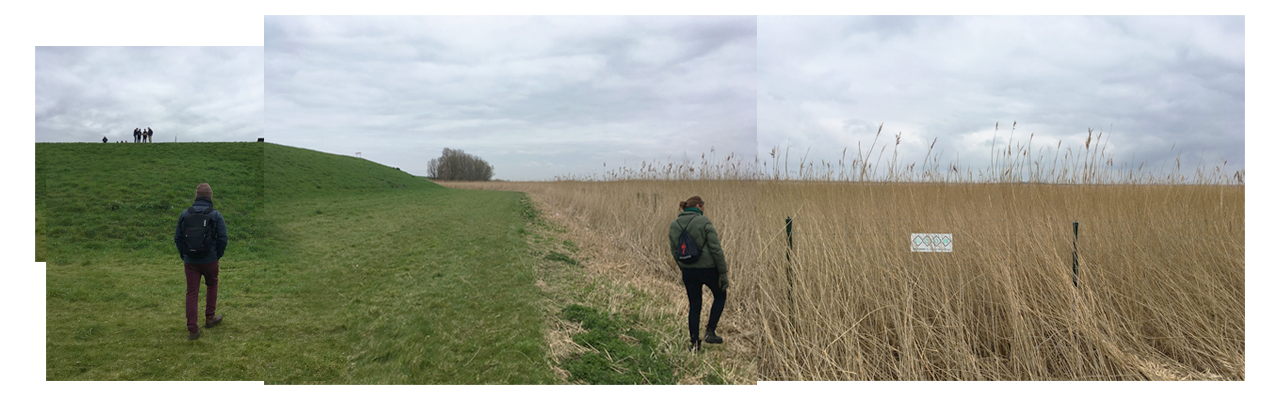
Photo section along a dike at Oostvaardersplassen.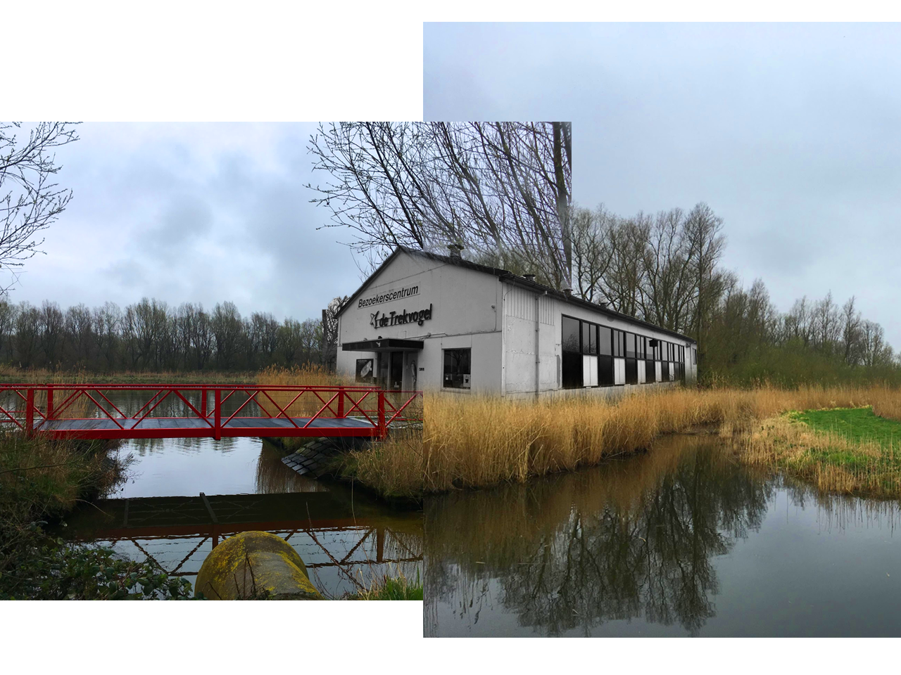
Spring in Lepelarplassen – The plants and grasses begin to green but the visitors center remains closed for visitors. 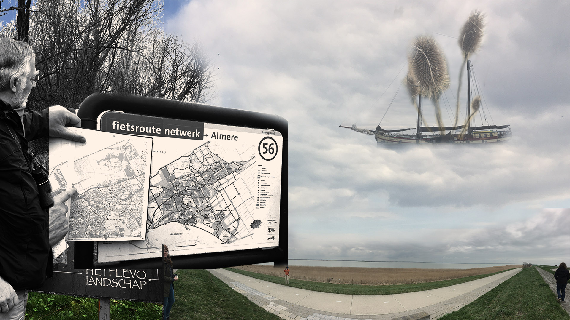
Photograph of Jan Wouter explaining the range of Almere and Oostvaardersplassen National Park.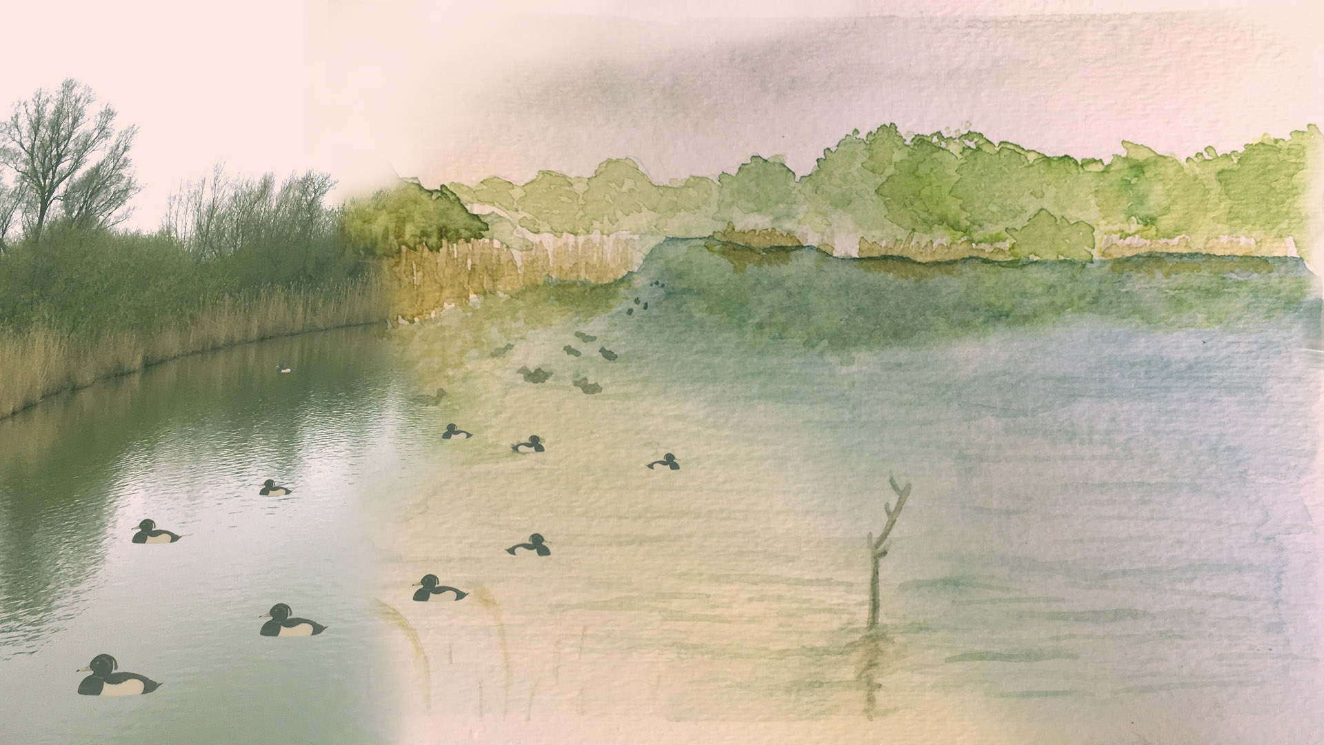
Hybrid image from inside the bird watch shelter on Lepelaarplassen Lake in Almere.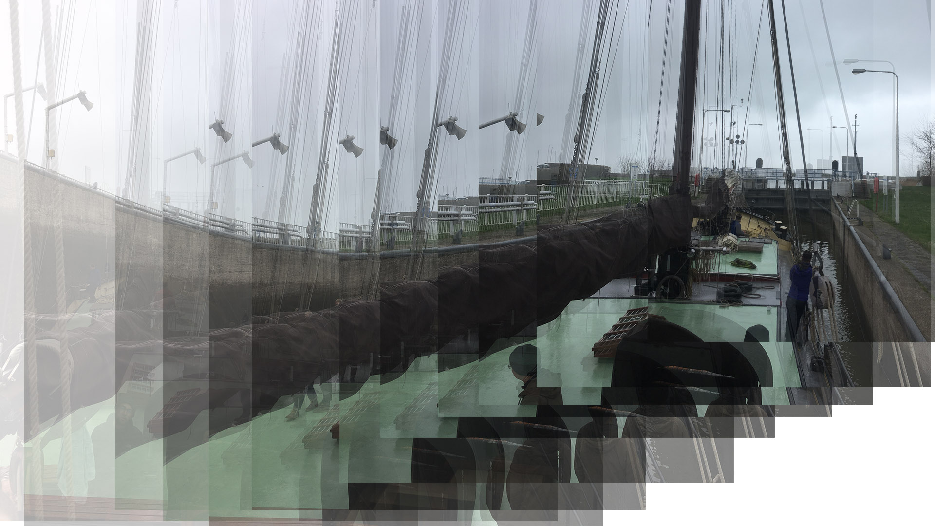
Photograph overlay of the Gulden Belofte rising five meters in the dam leading out to the Oostvardersdiep port and eventually out to the Markermeer.
Part I- Andrew Beck
Today we woke up to a misty morning and continued our adventures aboard the Gulden Belofte. With little wind to help, we motored out of the recreational camping area in which we had spent our night and back towards the lock and dam. Whereas yesterday we had dropped five meters in the lock, today we rapidly rose back up to the elevation of the markermeer before disembarking from the ship on the other side.
Within a short distance of the lock is the historic pumping station that controls the rapid drainage and filling of the lock. The building is quite large, having contained enormous engines in the past. Today, it is more of a shell with the far more efficient but much smaller electrical system at work inside.
Continuing our journey on foot, we descended once again and headed into the heavily forested wildlife area of the Lepelarplassen. The prevalence of small water birds and swans hinted at the primary focus of the area and the destination of our walk. As the forest thickened, wooden walls rose up on either side of the path and created a sense of purpose and mystery. With one final turn in the path we arrived at our destination, a roofed circular bird blind perched at the edge of a tranquil pond. Through small horizontal windows, our views of birds diving for zebra mussels were beautifully framed. Our simple and quiet communion with wildlife was gratifying and made surreal with the knowledge that we and the birds in our view were over five meters below sea level. Such are the realities of the Netherlands.
Part II- Evan Furr
We arrived to the harbor at the Oostvaardersplassen reserve and climbed over the dike. We then crossed a busy road and walked down a slight slope to a bike path that was lined with benches. We stayed a while, taking in the view and sketching the landscape. This bay truly was a sight to see. The natural gradient of soft yellow reeds gracefully stretched into the body of water where birds were wadding. After wrapping up our drawings we headed back to our trusty ship (a 100 foot yellow ship named the Gulden Belofte) to continue our cruise back to Batavia harbor for the evening. During the cruse back everyone collectively worked on a mapping exercise. This work was meant to unpack the locations and feelings we have experienced during our trip by plotting them out on a map. Analyzing the various areas surrounding the lake we have been exploring is a valuable way to reflect on our experiences. We also gained a valuable sense of scale of the area where we are creating a design scheme. Many ideas were thrown out on the table while drawing. The amount of information that was added to the map allowed it to become increasingly complex as more information about these places was contributed. We decided to begin iterating the process on added sheets of trace paper to simplify our thoughts. This mapping exercise lasted the hour journey back to the Lelystad harbor. Some, not even realizing we had departed oostvaardersplassen were surprised at our arrival back to port due to the concentration we had towards the exercise. We had a wonderful barbecue dinner on the ships deck. The diner catering was a big highlight of this trip with spectacularly filling meals to look forward to at the end of each eventful day. After dinner we broke out into our separate groups to further our designs of the national park project locations in and on the outskirts of the Markermeer Lake. This group project has been an effective method of compiling ideas and hearing everyones thoughts all while being able to come up with a reasonable design scheme in the short time frame allotted for this project.
