Images: Andrew Beck, Evan Furr
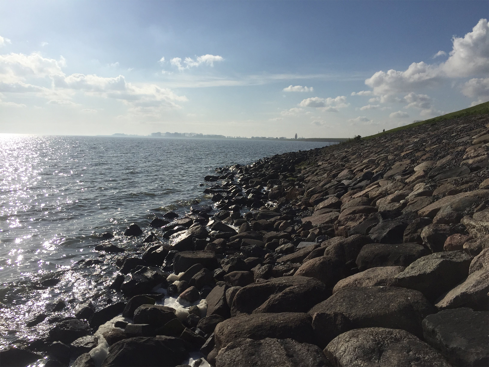
Stone riprap armoring the polder dike on the eastern shore of the Markermeer.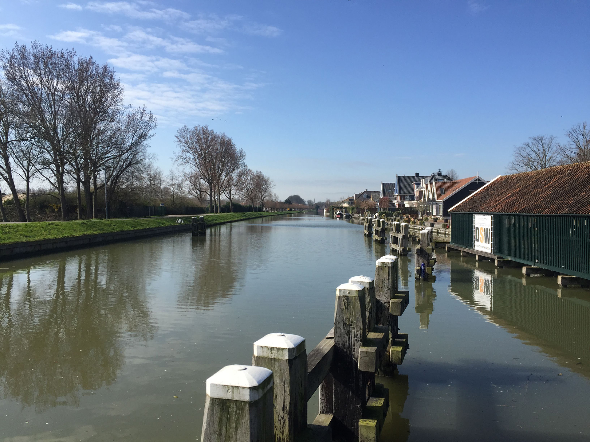
Canal running from the Markermeer to the town of Edam. The lock system that had formally connected the canal to the Markermeer has since been permanently closed.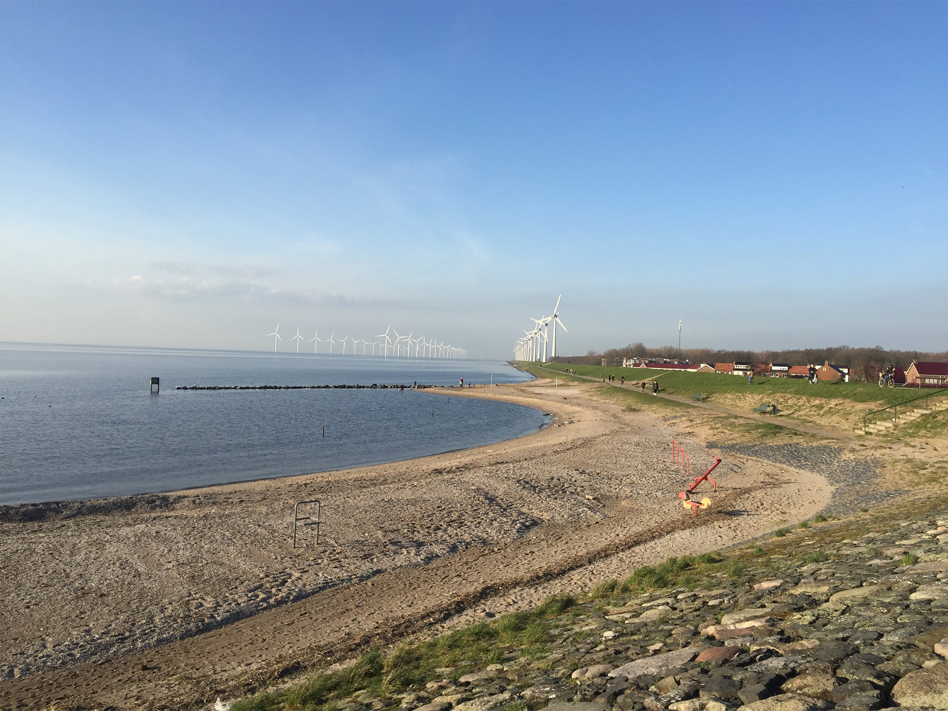
Wind turbines seen along the east shore of the IJsselmeer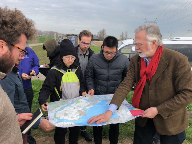
We stopped at this area named Durgerdam which is on the southwest side of IJmeer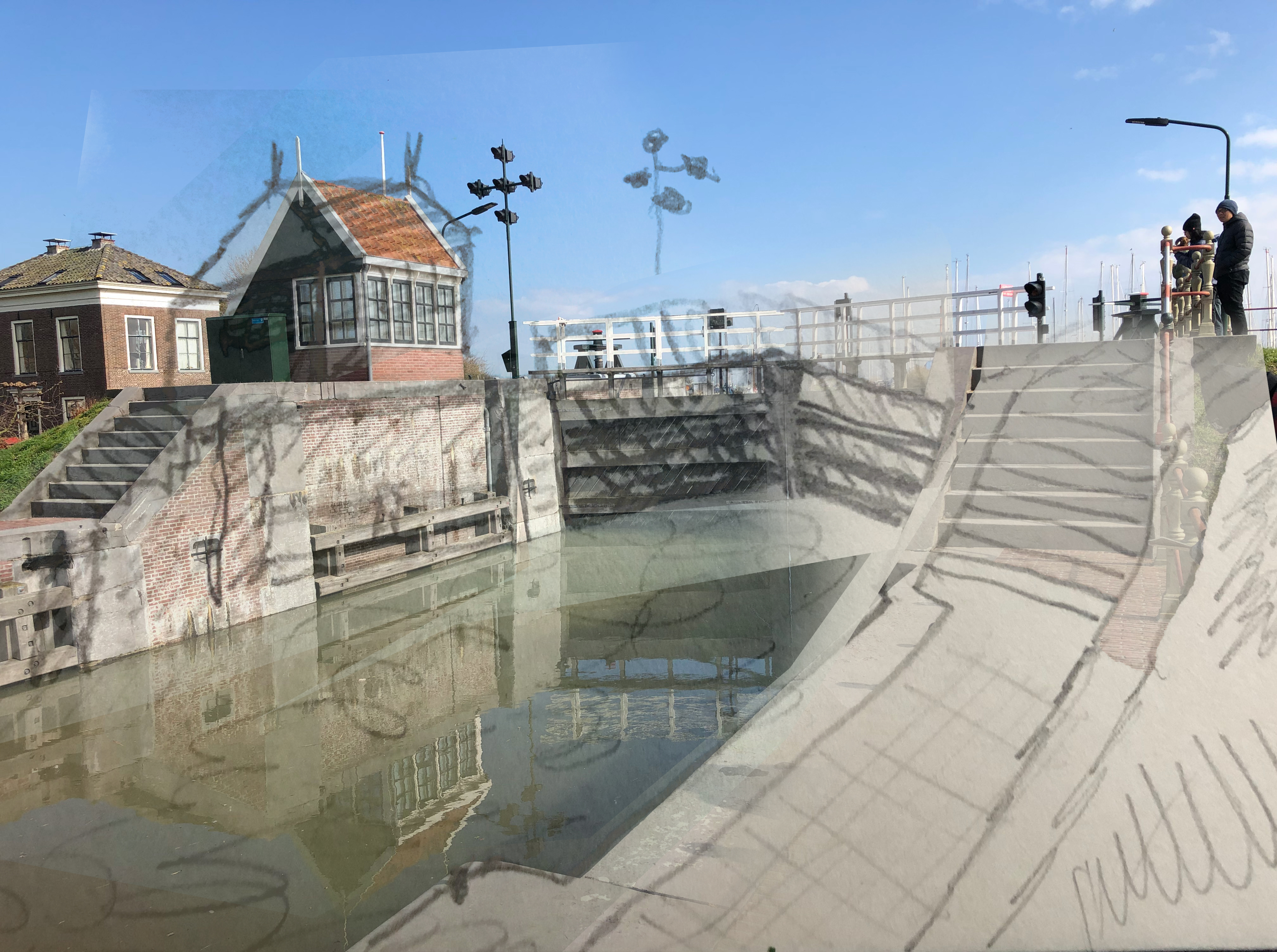
This image is of a floodgate in a channel north of the Durgerdam stop. This system protects houses along the channel from being flooded. 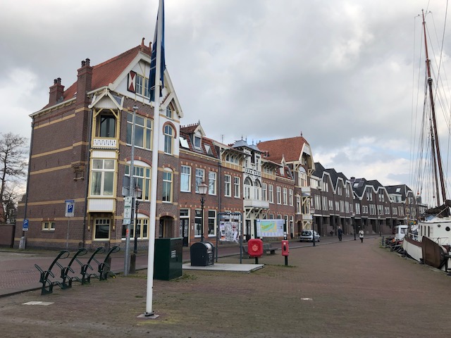
Town of Hoorn where we stopped for lunch
Part 1: Sydney Shea
We spent Tuesday shuffling on and off a bus following the outline of the Markermeer, a 173,000 acre lake in central Netherlands. Our outing traced and investigated the edge and interior conditions of polders, tracts of land drained of water for agriculture or development and enclosed by dikes. We made stops in small towns, on the outskirts of farming and fishing communities, and on top of dykes to overlook and climb down to the lake. As we bumped along following a line of the dykes and edges of water, we discussed the complicated history and future of water in the Netherlands.
The first polders were constructed in the 11th century, by the mid 20th century over half of the land of the Netherlands was land reclaimed from the sea. Windmills that dot the dutch landscape did the work of pumping water out for farming, a task now done by pumping stations run by gas and electricity that pump water to canal networks at slightly higher elevations. These canal networks may be higher than the surrounding land area, but still often many meters below sea level.
At a stop in the town of Edam on the west side of the lake we explored flood gates originally constructed in the 16th century. These gates made to keep water out, and the now absent ebb gates used to let the water level rise, tell a fascinating story of conflict in Dutch history. On one side of the argument, farmers called for keeping water levels down in spring for the sake of crop production. However, fishermen eager to get their ships out to sea in April fought to let the water flow in. This story details a common question, what voices and opinions are given power in ongoing projects of land or sea reclamation, when and for what reasons should these projects occur? Similar questions continued to rise as we journeyed on visiting the Oostvaardersplassen (a nature reserve and experiment in rewilding) and considered past plans to turn the entirety of the Markermeer into a polder for further development.
Part 2: Matthew Kunnari
Today we embarked on a “first impressions” tour of the vast Markermeer Lake with Dutch civil servant & landscape architect Jan Wouter Bruggenkamp. Jan has worked for decades on various projects around the lake and within the Netherlands. His passion and sincerity are evident in his soft spoken voice and uncomplicated turn of phrase.
We began the day driving on the dike through the one home deep town of Durgerdam, a Van Gogh type of seascape town. We made several quick stops on the dike: sketching sections; observing edges; taking in the views.
We had longer stops in towns along the route too. In Edam, we examined a centuries old still functioning lock and stopped for a delicious hot chocolate. Lunch was in the seaport city of Hoorn- a former West Indies trading town. Here the old warehouses and trading offices along the wharf visibly tilted forward, allowing goods to be hoisted into upper floors. And in the island town of Urk, we observed bikers and pedestrians as they went along the dike, while giant wind turbines turned slowly overhead.
This idyllic countryside and shoreline looked so charming. But we learned and observed that all of the landscape has been heavily altered and managed for centuries. That conflicts between farmers and fisherfolk about canal water levels have persisted for just as long. Depending on the economics as values of the time, the area has been managed differently. It has only been in the last twenty years or so that there has been a greater focus on ecology and rehabilitation of land as habitat.
Our journey came to a close as we watched the sunset over the vast experimental wildlife preserve Oostervaarderplassen. Here the Dutch have been reintroducing long gone native hoofed animals. This park, along with newly created dredged islands in the Markermeer will be our next studio project. Within a few days of reflection, our “second thoughts” will coalesce and we too will imprint our values upon this dynamic landscape.
